Rimbach R2
“
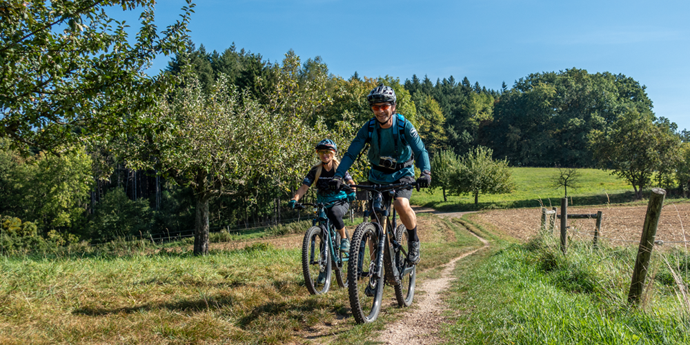
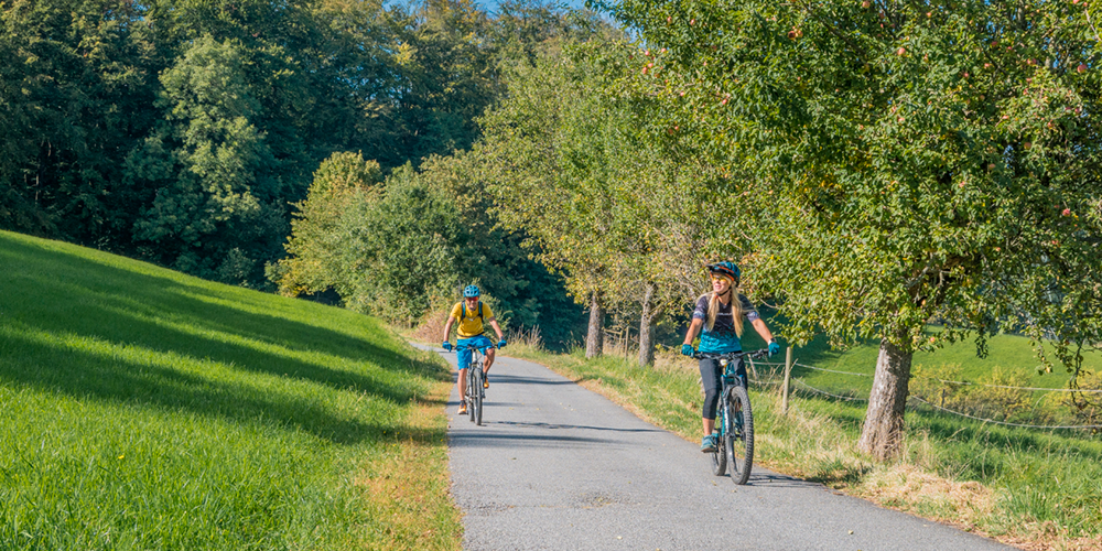
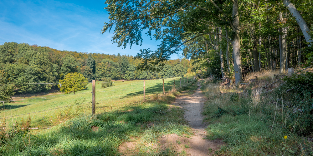
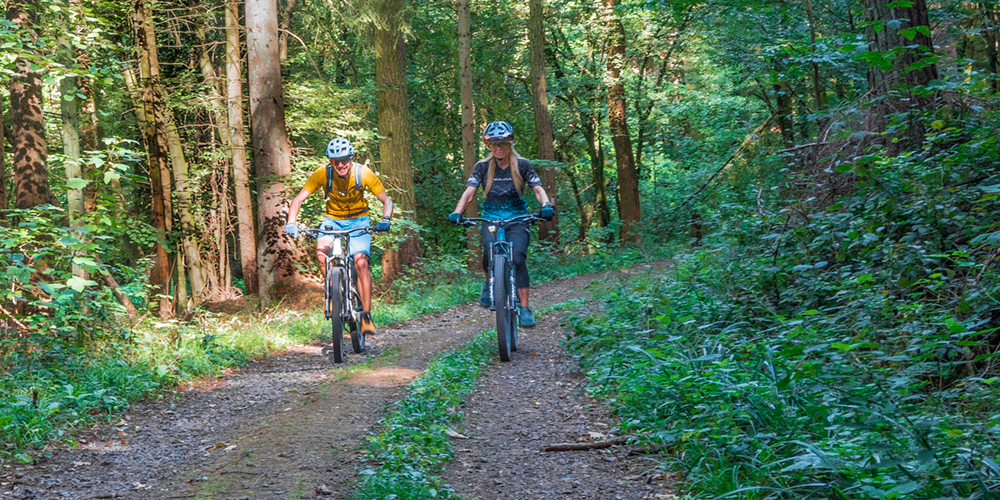
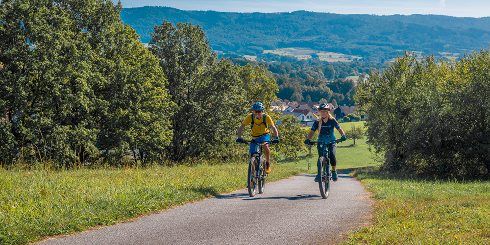
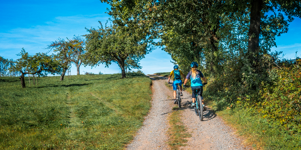
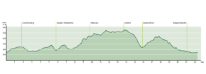
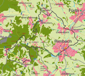
In addition to the R1 tour, the R2 circular tour also starts at the Geo-Nature Park information point in the town center / town hall in Rimbach. It is a moderate, family-friendly tour with 22.3 km and 430 meters of elevation gain.
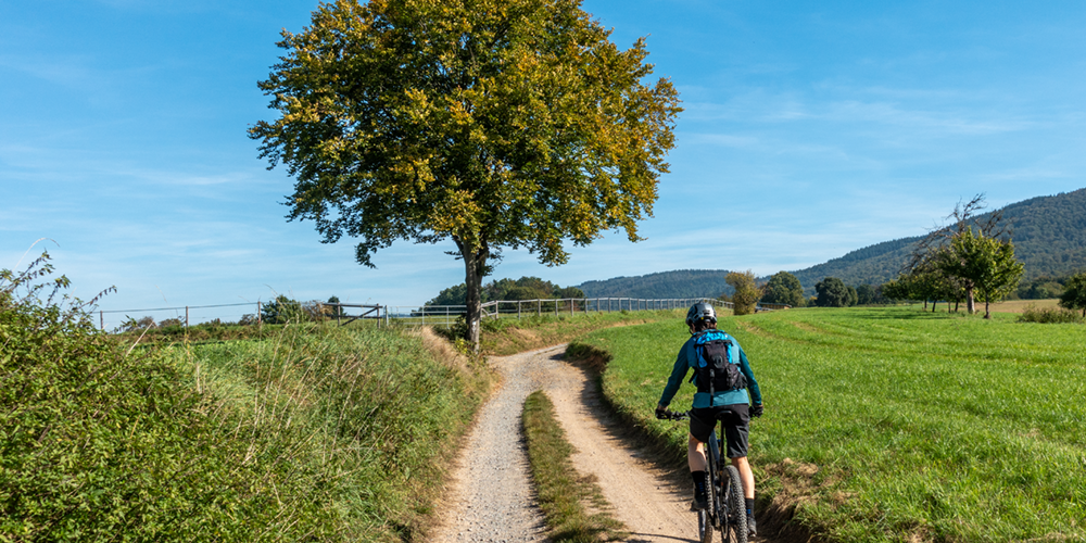
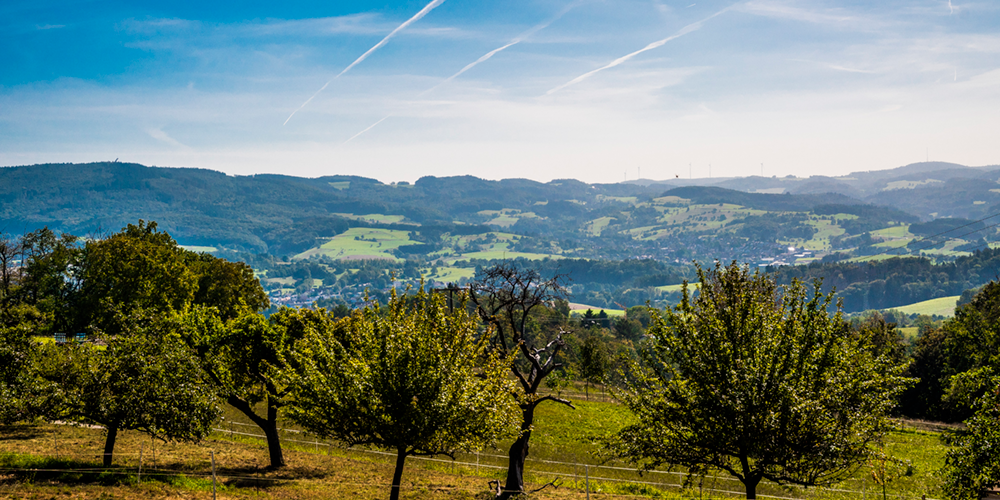
The first small ascent leads to the Lerchenberg, which offers a beautiful view of the northern Weschnitz valley towards Lindenfels. After Fahrenbach and the crossing of the B38, the route crosses under the B460 at Lörzenbach. The next destination is Lauten-Weschnitz. From there, the route continues to Mitlechtern before climbing up to Alzenau. On Sundays in summer there is catering here, but even on weekdays without catering it is worth taking a break here with rucksack food. It is one of the most beautiful views of the tour, over the Weschnitz valley to the Tromm with the new Tromm tower on the horizon. Just below the Alzenau, a “Mundartbabbelbox” offers a special experience.
After a slight downhill and uphill section, the route heads north past the Kreiswald stud farm. This area is very popular with horse riders and you may encounter riders at any time.
Many people are on the road from the Kreiswald forest towards Juhöhe, especially at weekends and on public holidays. On the Juhöhe there is another opportunity to stop for refreshments. After crossing the busy L3120, the route heads south – initially still slightly uphill. From the highest point of the tour, at the end of the Juhöhe, there is a wide view of Mannheim and the Palatinate.
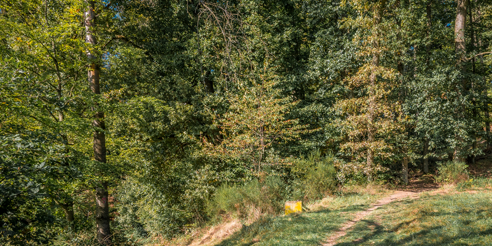
After a long descent on the asphalt road to the east, Bonsweiher begins. In the center of the village, turn left onto Rimbacher Straße via the L3120. It leads uphill to the edge of the forest, where the route turns left. After approx. 300m it passes the start house of the Trailpark Waldsee. Acrobatic stunts on mountain bikes can be seen here, especially at the weekend. However, only club members are permitted to drive on it.
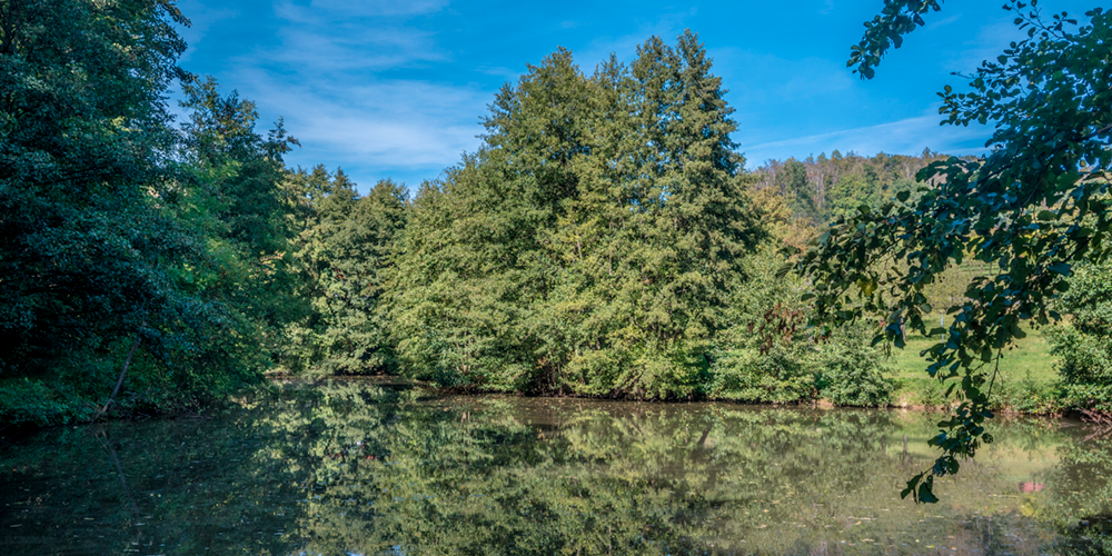
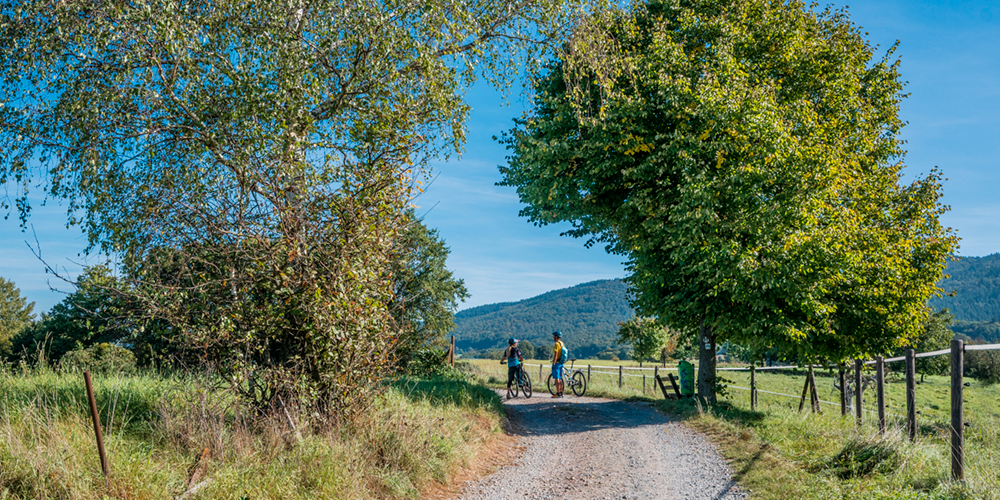
After another 1.5 km, the route touches the fish pond near the Kreiswald forest and now leads eastwards downhill towards Albersbach. At a hairpin bend, turn left down to the Albersbach. The last section is a narrow staircase. The route continues down the valley along Ortststrasse / K8. The route then turns right to the Hoppersteich ponds. Here you have the opportunity to take a final break in an idyllic spot.
The route now leads on a flat stretch through Rimbach back to the start/finish point in the town center/town hall. There are various places to stop for refreshments in Rimbach.
Possible extensions to this tour:
While the R1 bypasses the eastern part of the Rimbach district, the R2 touches all western districts. It is possible to extend the round trip during the course of the tour:
In Fahrenbach it touches the F1 and F2 and on the Juhöhe the Mb1. The R2 also provides a good connection from the Bergstraße to the Überwald by changing to the R1 at Rimbach town hall and then joining the Wa1, H1 and also the Mb1 on the Tromm.
For families: recommended
Technical requirements: low
 Horst Eberle
Route sponsors R21
Contact via:
info@mtb-geo-naturpark.de
 Heinrich Baaden
Route sponsors R21
Contact via:
info@mtb-geo-naturpark.de
GPX download
(gpx & kml as zip file)
Start Google Maps
Rimbach

