Höchst Hö1 EN
“
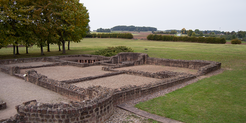
This tour starts in the heart of Höchst and is mostly easy to moderately difficult in terms of fitness on field and meadow paths. You will pass the Roman villa Haselburg, among others, and you can strengthen your body at the Schmelzmühle.
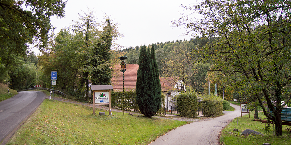
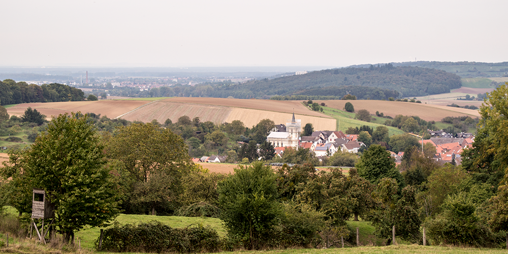
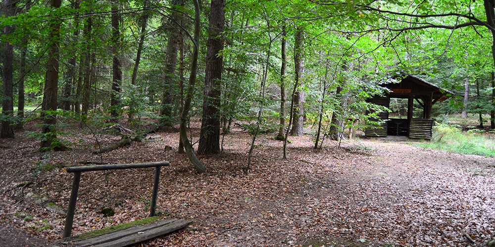
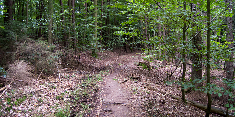
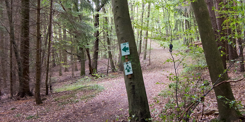
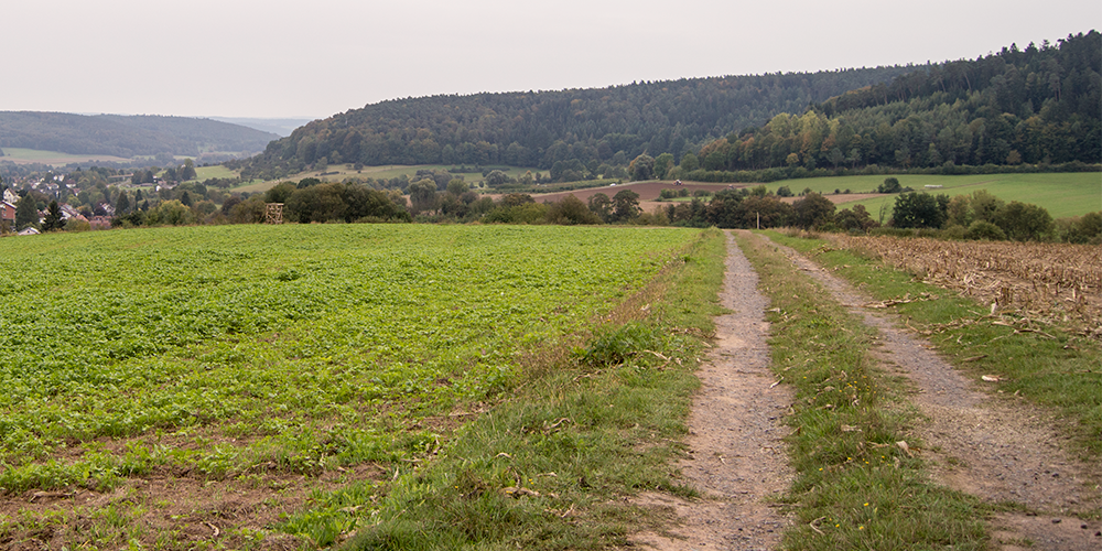
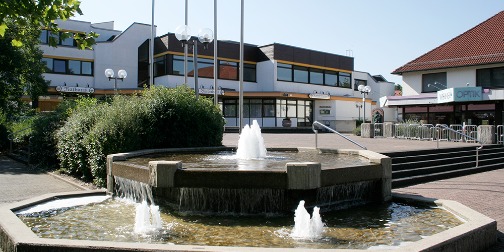
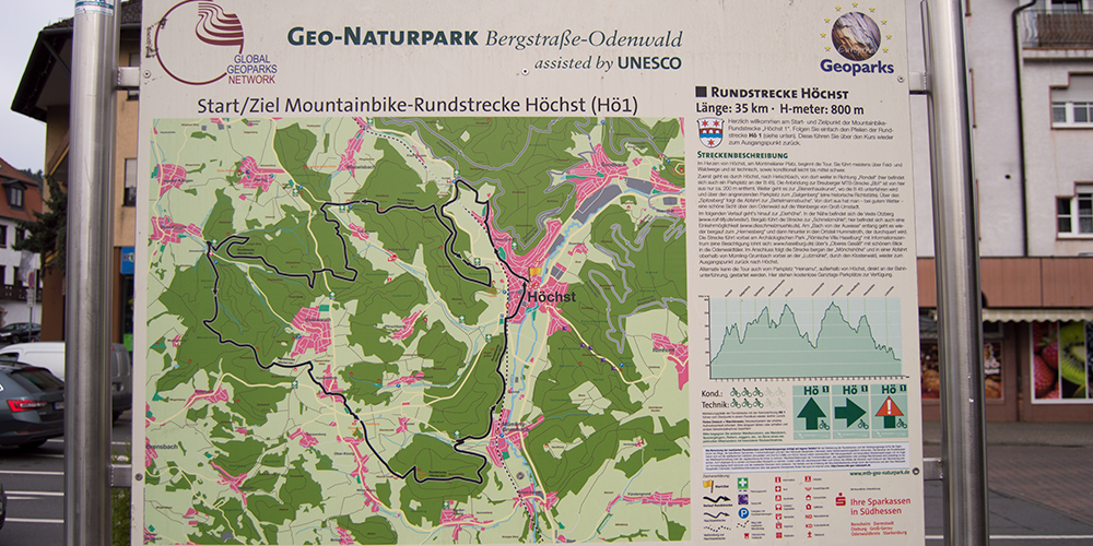
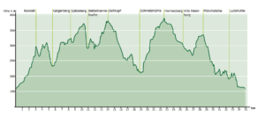
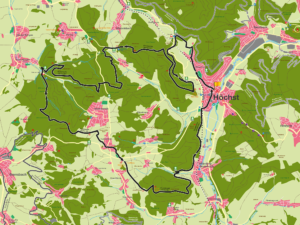
The tour starts in the heart of Höchst, at Montmelianer Platz. It mostly leads along field and forest paths and is technically and physically easy to moderately difficult. First you go through Höchst, to Hetschbach, from there continue in the direction of “Rondell” (there is also a parking lot here on the B 45). The connection to the Breuberg MTB route “Bb1” is only approx. 200 m away from here. The route continues to the “Bienenhauskurve”, where you pass under the B 45 and via the adjacent parking lot to the “Galgenberg” (a historic place of execution). The descent to the “Bettelmannsbuche” follows via the “Spitzeberg”. From there you have – in good weather – a beautiful view over the Odenwald to the vineyards of Groß-Umstadt. The route then climbs up to the “Eierhöhe”. The Veste Otzberg (www.rolf-tilly.de/veste/) is located nearby. The route leads downhill to the “Schmelzmühle”, where you can also stop for refreshments (www.dieschmelzmuehle.de). Along the “Bach von der Auwiese” stream, the route climbs back up to the “Hermesberg” and then descends to the district of Hummetroth, which it crosses. The route leads past the “Roman Villa Haselburg” archaeological park with information center (worth a visit: www.haselburg.de) over the “Oberes Gesäß” with a beautiful view of the Odenwald valleys. The route then follows the “Mönchshöhe” uphill and in a descent above Mümling-Grumbach past the “Lutzmühle”, through the monastery forest, back to the starting point in Höchst. Alternatively, the tour can also be started from the “Heinamu” parking lot outside Höchst, directly at the railroad underpass. Free all-day parking is available here.
For families: not recommended
Technical requirements: low
 Gregor Fröhlich
Route sponsor Hö1
Contact via:
info@mtb-geo-naturpark.de
GPX download
(gpx & kml as zip file)
Start Google Maps
Highest

