Mömlingen Mö1
“
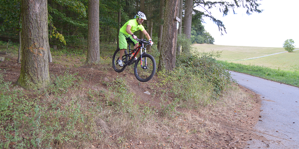
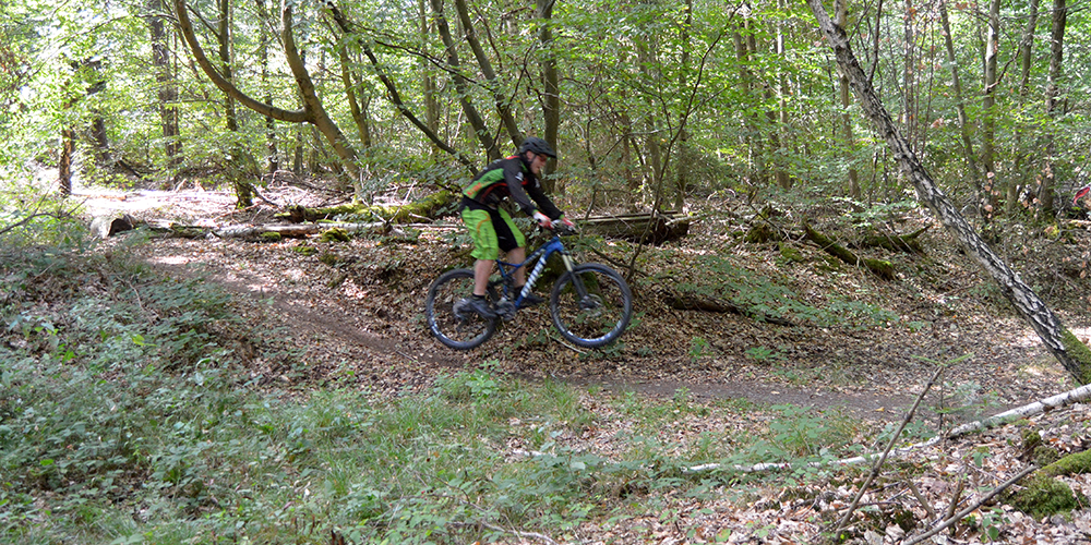
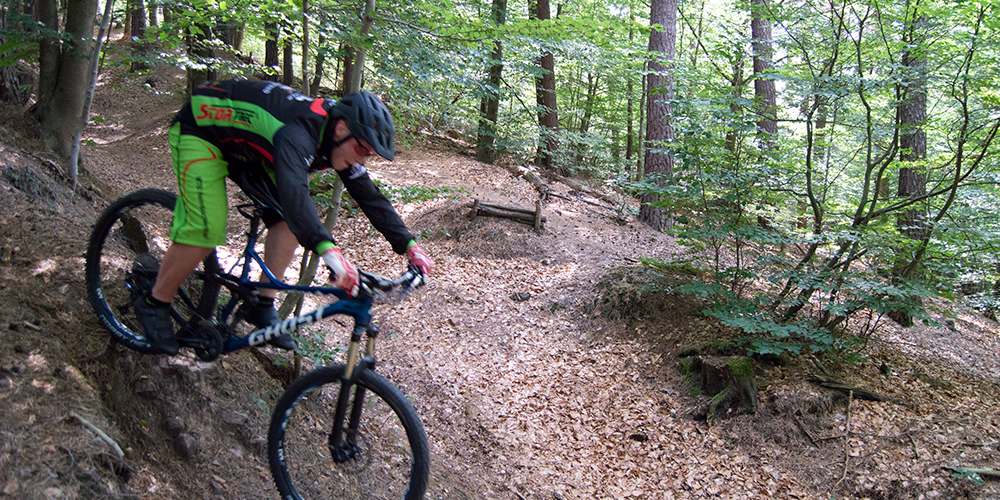
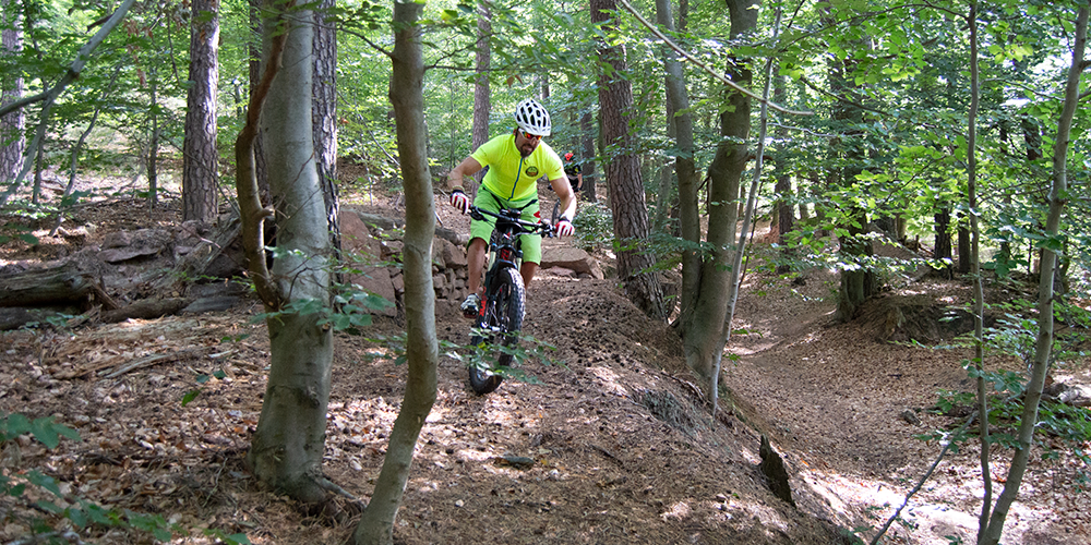
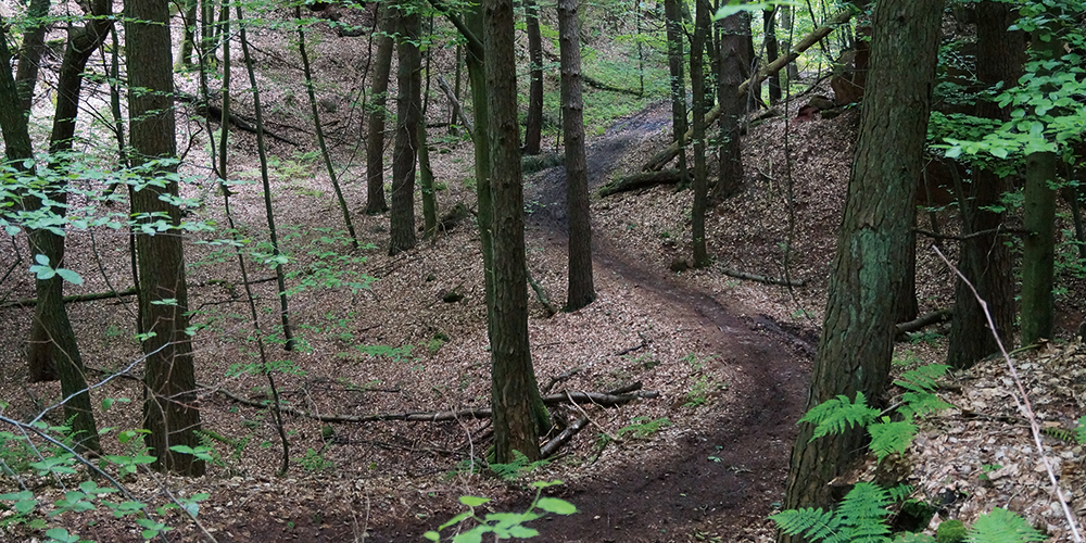
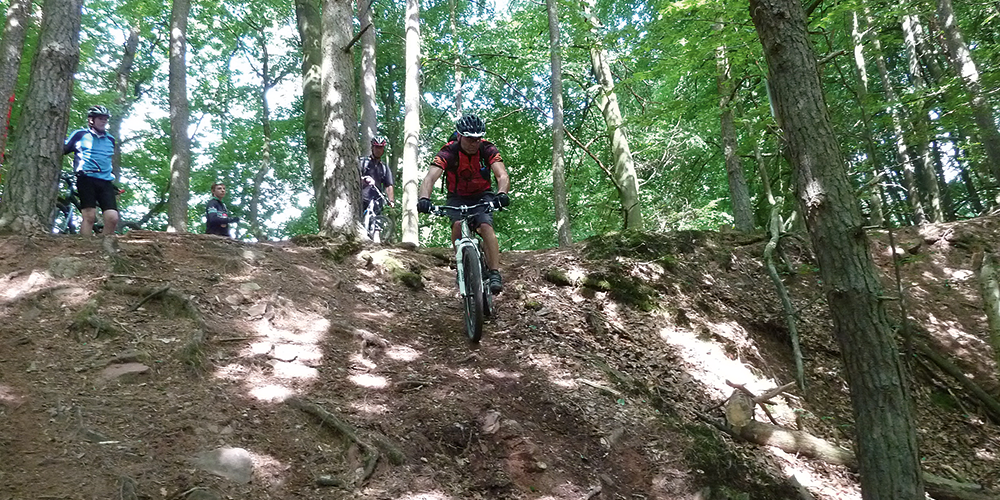
Recognized by the DIMB as a Premium Trail Tour, Mö1 has more than 51 percent single trails. Many natural sections and flowing descents ensure that you won’t get bored.
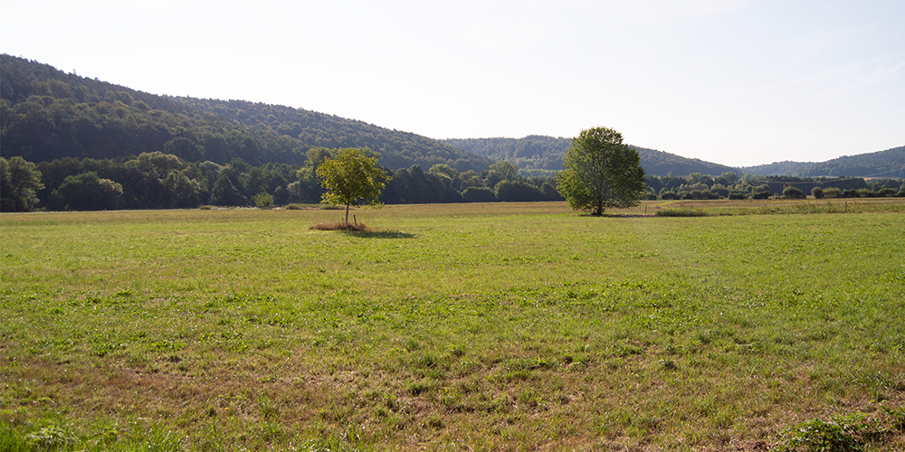
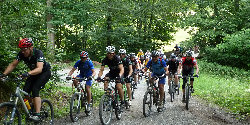
A large part of the 30 km route runs along the Bavarian-Hessian border and along municipal boundaries. Along the varied route, there are always wonderful views of the Spessart, Odenwald or Rodgau. It is therefore up to each individual biker to decide whether to take on the physical and technical route as a sporting challenge or to enjoy the route with all its views and nature.
The route is divided into 51% trails, 20% forest paths, 20% gravel paths and 9% asphalt. The route has been chosen so that most of the trail sections run downhill and therefore promise lots of riding fun. The climbs, on the other hand, are mostly on gravel and allow you to climb the 857 meters in altitude without too many technical challenges.
DIMB sealThe high trail share of over 50% and the fulfillment of other quality criteria helped the tour to be certified as a DIMB Premium Trail Tour. The premium MTB routes in Germany are summarized on the following website: www.premium-biketrails.de
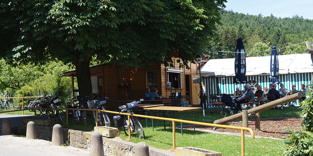
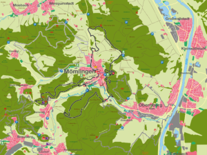
The route starts and ends at the Löwenparkplatz in the center of Mömlingen. From the starting point, the route runs in a south-westerly direction to the “Great Forest”. Further along the route, a gravel path leads to the “Hohe Stein”. At 281 m, the “Hohe Stein” is the highest point in the Great Forest. From this location, we move on to the Hessian territory of the municipality of Breuberg. A flowing trail takes you through the Hainstadt quarry and onwards along a grassy path back to the Mömlinger district. A fast gravel road takes you back to Mömlingen and from there into the next forest section, the Buchberg. A long gravel path leads from the Mömling (140 m above sea level) to an altitude of 280 m above sea level. From there, we take a forest path leading down the valley, which turns into a trail halfway down. After the trail sections, we head uphill again on a trail. The people of Mömlingen call this section of the route the “Ochsenweg”! In the upper section of this climb, the gradient is up to 25% and demands everything from even the most fit bikers. Almost at the Buchbergspitze, we turn left after about 50 m onto another trail. This trial section leads from the Buchberg over the Neustädterhofkopf down to the Neustädter Hof, which offers a good place to stop for refreshments.
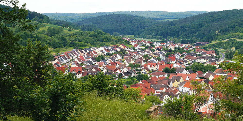
After Neustädter Hof, you cross the B426 and ride along single trails to Königswald and Mömlinger Steinbruch. The technically demanding trials, including a steep ramp, require some experience with the bike to get to the longest trail on this route after a short climb. From Kreuzstraße, the trail leads at a fast pace to the refuge on the Pfaumheimer Höhe. 50 m after the refuge, turn left into a trial until you reach the MIL 32 district road and then follow a grassy path into the valley. Before you get back to Mömlingen, you have to climb another hill. From this hill, bikers once again have a beautiful view of Mömlingen and the surrounding forests. Then it’s back on asphalt to the center of town to the Löwen parking lot. At the end of the route, the speedometer stops at 30.4 km and 857 m elevation gain.
For families: not recommended
Technical requirements: high
Contact via:<a class="sppb-person-email" href="mailto:Kontakt%20%C3%BCber:
%20info@mtb-geo-naturpark.de”>
%20info@mtb-geo-naturpark.de”>
Contact via:<a class="sppb-person-email" href="mailto:Kontakt%20%C3%BCber:
%20info@mtb-geo-naturpark.de”>
%20info@mtb-geo-naturpark.de”>
GPX download
(gpx & kml as zip file)
Start Google Maps
Mömlingen

