Legend
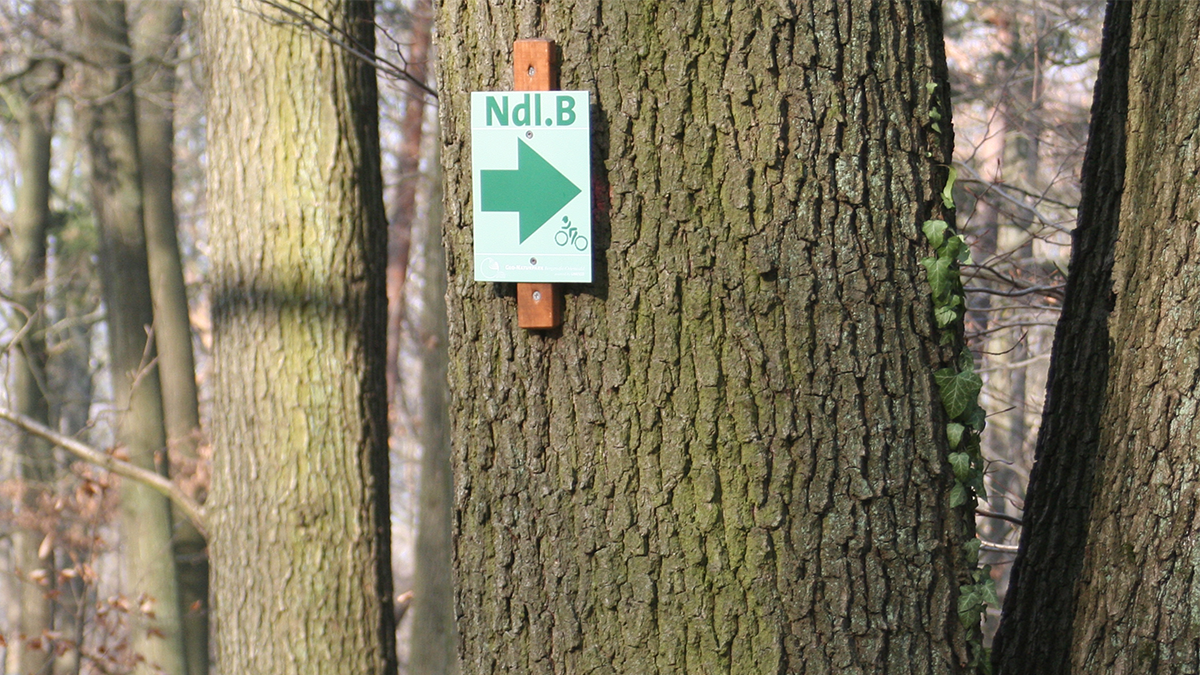
Designation of the circular route through the Geopark. This designation can also be found on the signposts, e.g. “HP 1” for “Heppenheim”.
The name of the town where the circuit begins and ends. The information board for the route is also located there.
The approximate length of the circuit in kilometers.
The approximate total altitude meters to be ridden on the circuit, which also show the depth meters.
Circular routes with the designation Tour do not require any technical riding skills and can also be ridden on a bike without suspension. These routes also have a high proportion of sections in towns and on public roads. Their equivalent is close to cycle paths and cycle tracks. The main focus is on the experience and enjoyment of cycling without primarily sporting ambitions. Wearing a bicycle helmet is a matter of course.
These routes are for endurance sports.
Their characteristics require a hardtail and the ambition to achieve a rehabilitation or training effect. These routes often include challenging climbs on forest paths and offer speedy descents on the same paths. The proportion of single trails is low. Rudimentary riding technique is required in order to optimally adapt the riding speed to the situation. You should never ride these routes without a helmet.
A good balance between fitness and basic riding technique on loose, wet and steep terrain is required to ride these routes with confidence. Roads and forest trails lead to longer singletrail descents. Ideally, a full-suspension mountain bike is suitable, but you can also have a challenging riding experience with a hardtail if you are technically experienced. Protectors and goggles offer additional protection alongside the mandatory helmet and gloves.
Single trails with high technical and physical demands. Long, steep climbs, also on unpaved paths, lead to equally long descents on natural trails, some of which are rocky, blocked and rooted and offer hairpin bends, hanging curves and banked turns on steep slopes. In addition, there are also constructed tracks with berms (built curves) and drops (built steps for active jumping). Many steep sections require confident bike control. A full-suspension mountain bike with above-average technical and quality equipment is an advantage. Protectors for the knees and elbows are mandatory, as are goggles and gloves. A full-face or enduro helmet offers additional protection compared to a normal helmet.
The abbreviations under “Singletrail” refer to the singletrail scale.
http://www.singletrail-skala.de/
Only the single trail sections of the route are rated. The most difficult part of the route serves as the basis, provided that there is no single event with a bypass option, such as a traffic jam. is a single slope descent. The latter is not evaluated.
The abbreviations under “Condition” refer to the condition scale.
https://www.dav-heilbronn.de/de/aktiv/mountainbike-1/mtb-gruppe/trail-und-konditionsskala.html
The assessment is made for the entirety of the climbs.
As the single trail scale in the S0 to S3 range is quite coarsely graded, but over 99% of all MTB riders reach their technical limits in this range, a more finely meshed color system has also been established in Europe for route designations. It not only takes into account the soil conditions. The physical challenge and general dangers, such as the risk of falling, also play a role. fixed paths on steep slopes, etc. are included.
Transfers, wide paved paths and roads, and wide unpaved paths are green.
(Yellow – not available here – are marked as practice courses).
Blue are unpaved paths and trails that correspond to the single trail scale S0 to a maximum of S1. They already contain some gravel, loose soil and roots, as well as rocks in the roadway. Blue trails can still be ridden with caution by inexperienced MTB riders.
Trails that correspond to the single trail scale S1 to S2 are red. Good riding technique is required. Suitable protective equipment is also recommended. These trails are often on loose ground with roots, stones and rocks. Various built elements may also be present.
Black are difficult trails from S2.5 to 3, as well as built elements and special danger spots. It is advisable to inspect the sections before driving on them. Protective equipment is mandatory. Safe bike control is a must.
“Average” is the average route characteristic in relation to the trails.
“Maximum” is the maximum difficulty that occurs at key points on the trails.
For example:
Ø/max ![]() means: the route has an average technically easy (green) characteristic, but has some difficult (black) trail sections up to category S3.
means: the route has an average technically easy (green) characteristic, but has some difficult (black) trail sections up to category S3.
“Recommended” means that this route is recommended for families with children and children’s bicycles, with normal bicycles and for older people with pedelecs as a riding experience. These routes are not demanding in terms of fitness or riding technique. The landscape experience, the stop for a snack and the fun of riding together are the main focus.
“Suitable” means that these routes are still technically and physically manageable for everyone. However, children can tire quickly on the sometimes long climbs or get bored of the trail experience. Technically inexperienced riders can get through on these routes, but the obstacles are perceived as stressful and annoying.
“Not recommended” are such marked routes, as technically experienced riders and/or a high level of fitness are required. Occasional pushing of the bike or dismounting in front of obstacles is the result.
“High” means that this route contains interesting technical challenges and beautiful downhill sections.
These routes are “medium ” from a technical point of view, because there are easy single trails and one or two interesting key sections. The technical demands are rather light.
“low” There are no technical challenges worth mentioning. Roads and forest tracks dominate.


