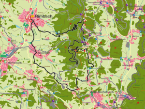
Rimbach R1
“
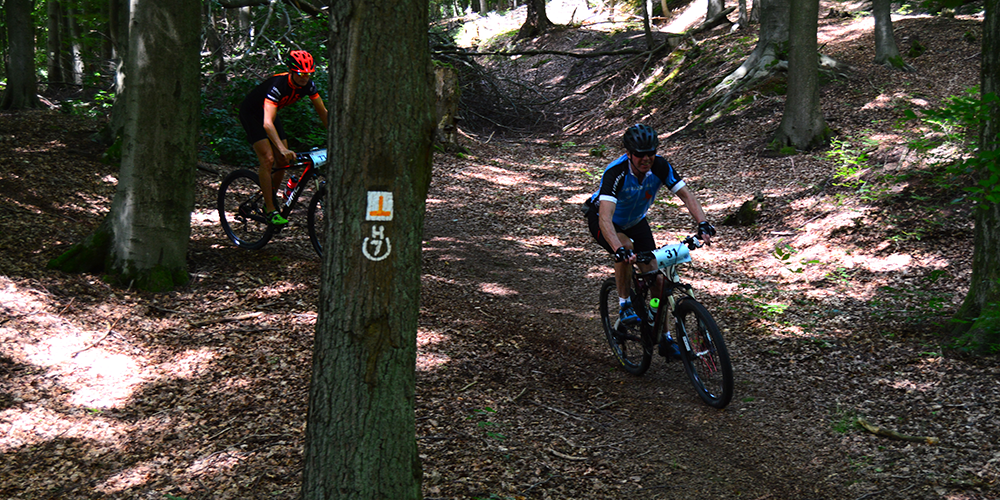
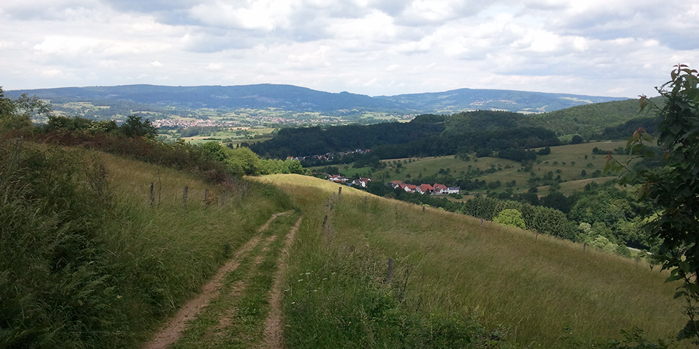
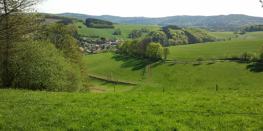
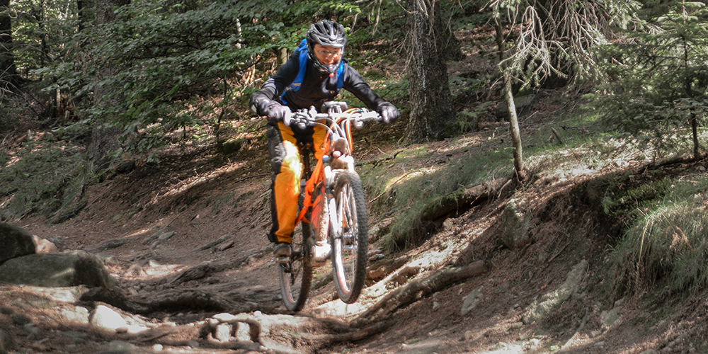
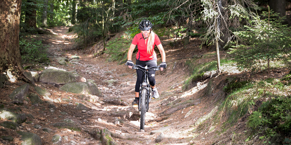
Magnificent views of Starkenburg Castle in Heppenheim, Weinheim, Mannheim, the Wine Route and the Palatinate characterize the tour. The Tromm forms the heart of the tour and has some single trails that should not be underestimated.
The distant views of the tour start from the Tromm “Rimbacher Blick” to the Melibokus, Starkenburg Heppenheim and continue from the Irene Tower with the Katzenbuckel, Wachenburg Weinheim, Mannheim, Ludwigshafen, Weinstrasse, Palatinate, Vosges, Worms Rhine Bridge,. If you haven’t had the opportunity to enjoy these views yet, you can enjoy another great panoramic view of the Weschnitz valley from Lindenfels to Weinheim and the Rhine valley from the Kisselberg above the Zotzenbach “race track”. The views along the way include the geopoints described on panels on site, such as Grenzwall, Lindenstein, Wildleuthäusl, Ireneturm. From the “Tränke” parking lot, you follow the art trail for a while and also touch the art trail on the Tromm. On the descent in the Stallenkandel area, you can turn off to the summer toboggan run on the Kreidacher Höhe.
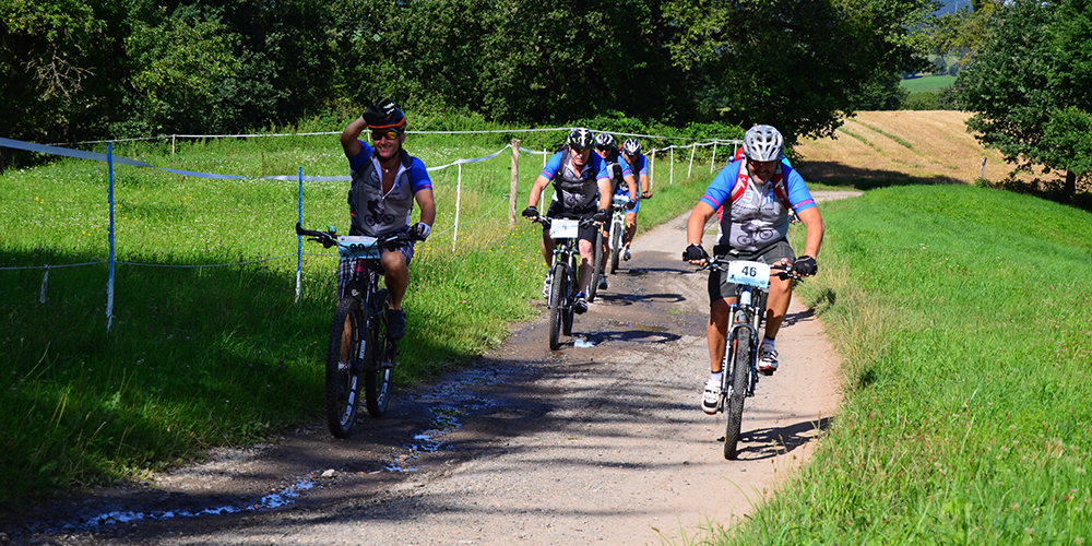
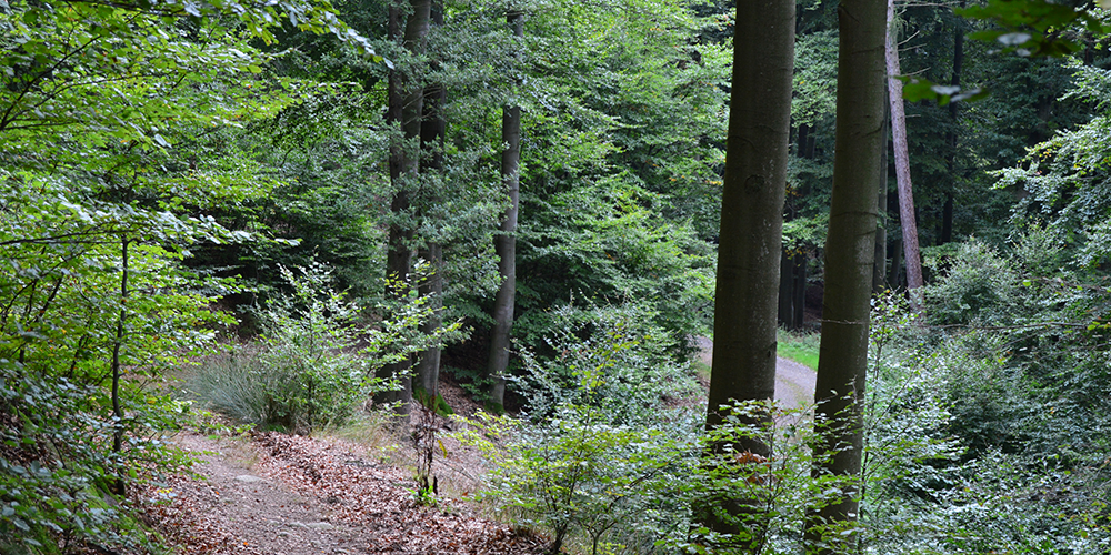
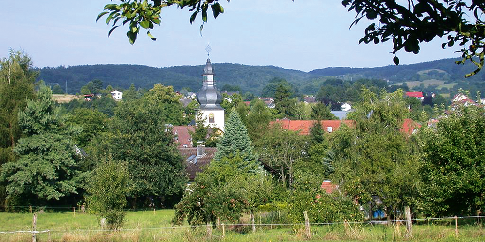
The route: The route starts at the Geo-Nature Park information point opposite Rimbach town hall (180m above sea level), crosses Brunnengasse into the Feldmark above Münschbach and reaches the “Tränke” forest parking lot (265m above sea level) at the foot of the Tromm. From there, take the art trail and the “Schlangen” trail in serpentines up approx. 260 m to the “Schardhof” restaurant (525 m above sea level) on the Tromm. Here you can switch to the routes from Hammelbach, Fürth and Wald-Michelbach. Continue along the Trommer Höhenweg, with a turn-off to the “Rimbacher Blick” (558m above sea level), past the “Zur schönen Aussicht” restaurant, onto the most technically demanding part, the single trail from the Odenwald Institute towards Fuhrshöfe, followed by the last major ascent to the Ireneturm (577m above sea level). After a descent through Gadern and a return to the Trommer Höhenweg, you pass Stallenkandel with the “Bergblick” restaurant (turn left at the junction of the K14 district road) and ride via Obermengelbach to Kisselberg with a quick downhill to Zotzenbach. The last small “hump” of the tour, the Kreuzberg, lies between Zotzenbach and Rimbach.
For families: not recommended
Technical requirements: high
 Heinrich Baaden
Route sponsor R 1
Contact via:<a class="sppb-person-email" href="mailto:Kontakt%20%C3%BCber:
%20info@mtb-geo-naturpark.de”>
info@mtb-geo-naturpark.de
 Horst Eberle
Route sponsor R 1
Contact via:<a class="sppb-person-email" href="mailto:Kontakt%20%C3%BCber:
%20info@mtb-geo-naturpark.de”>
info@mtb-geo-naturpark.de
GPX download
(gpx & kml as zip file)
Start Google Maps
Rimbach

