Abtsteinach A1
“
A technically easy route that is characterized by its impressive distant views. However, the fitness requirements should not be underestimated. A short steep section at the Teufelsstein to the Waldskopf is the final crux of the route.
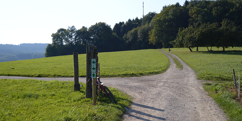
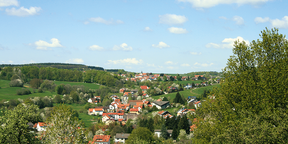
The route is characterized above all by its varied routing and impressive views. Technically relatively easy, as it is mostly on forest and woodland paths, but the fitness requirements of the route should not be underestimated.
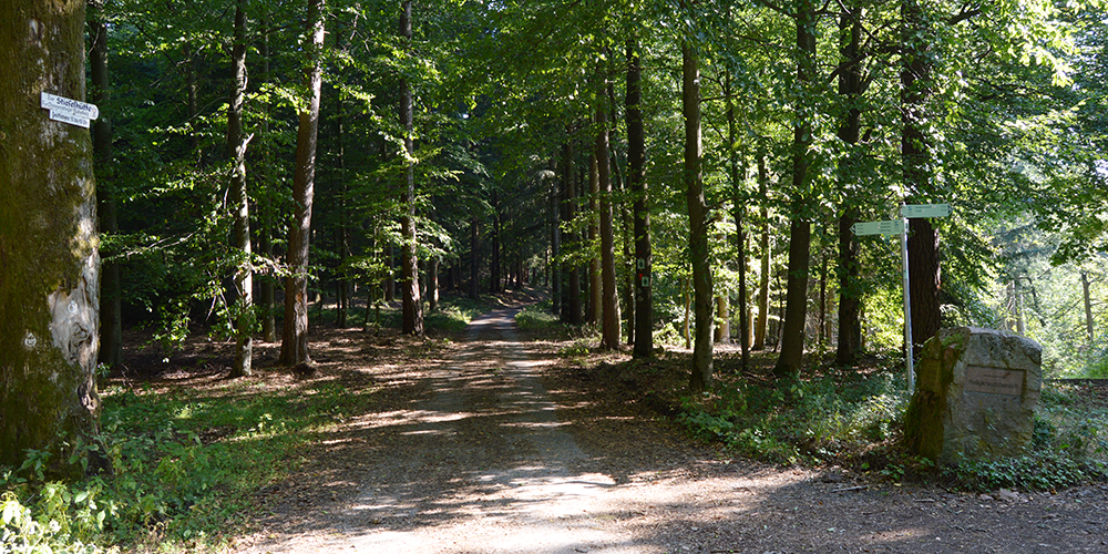
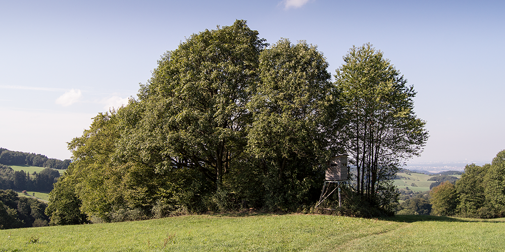
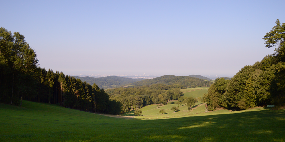
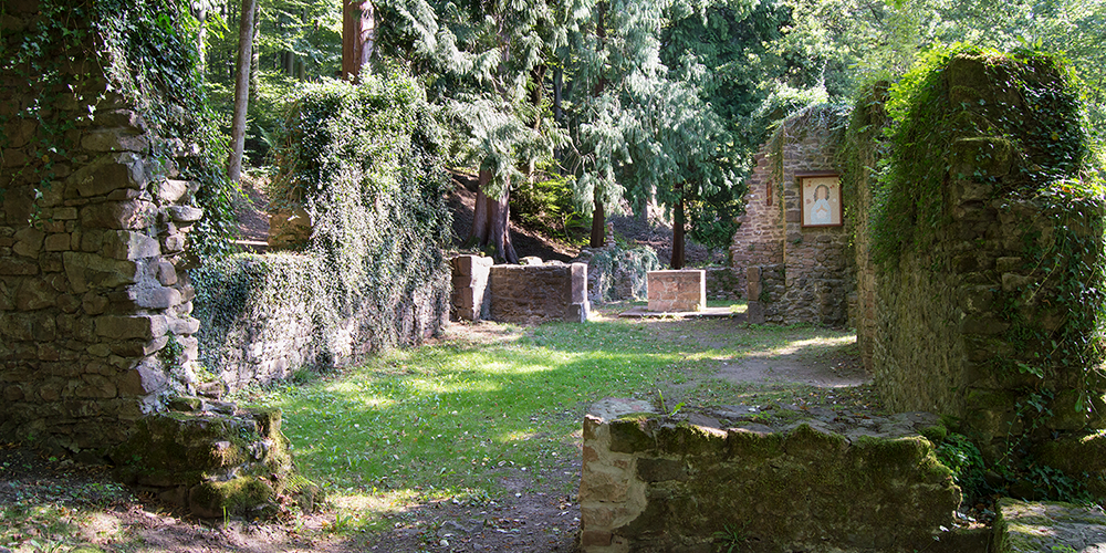
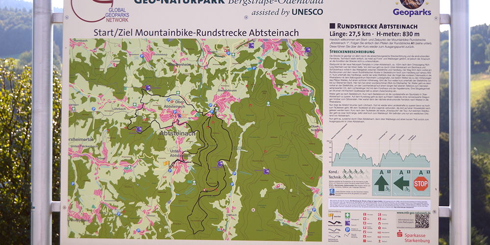
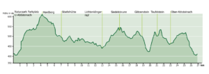
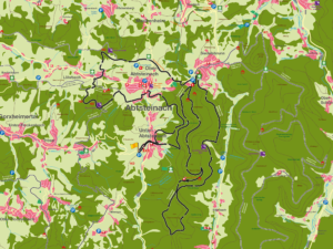
The starting point is the new nature park parking lot in Unter-Abtsteinach, approx. 100m after leaving the town in the direction of Weinheim on the left-hand side. From there, the route leads through Unter-Abtsteinach past the bakery and Schützenhaus into the forest area between Stiefelhöhe and Hardberg. The trail then leads past the Buchbrunnen fountain and the new Buddhist monastery in Siedelsbrunn up to the Hardberg at an altitude of almost 600 meters. Shortly below the Hardberg, the first far-reaching view over the hills of the front Odenwald into the Rhine plain with the conurbation of Mannheim Ludwigshafen awaits, in clear weather as far as the mountain ranges of the Palatinate Forest. The tour continues along a beautiful high-level trail just below the Stiefelhöhe to the Steinernes Bank. Here you have a wonderful view of the Eiterbach valley. The route then continues past the Stiefelhütte, around the Leonhardskopf on a long, almost flat section to the next place worth seeing, the Lichtenklinger Hof with the forester’s lodge and the ruined chapel. A seat at the fountain with fresh spring water invites you to take a break. The route continues to Siedelsbrunn. Shortly after Siedelsbrunn, cross the main road at the sports field in Ober-Abtsteinach. The art trail then takes you over to Götzenstein on open terrain without any significant inclines. The next impressive distant view to the west into the Rhine plain awaits here.
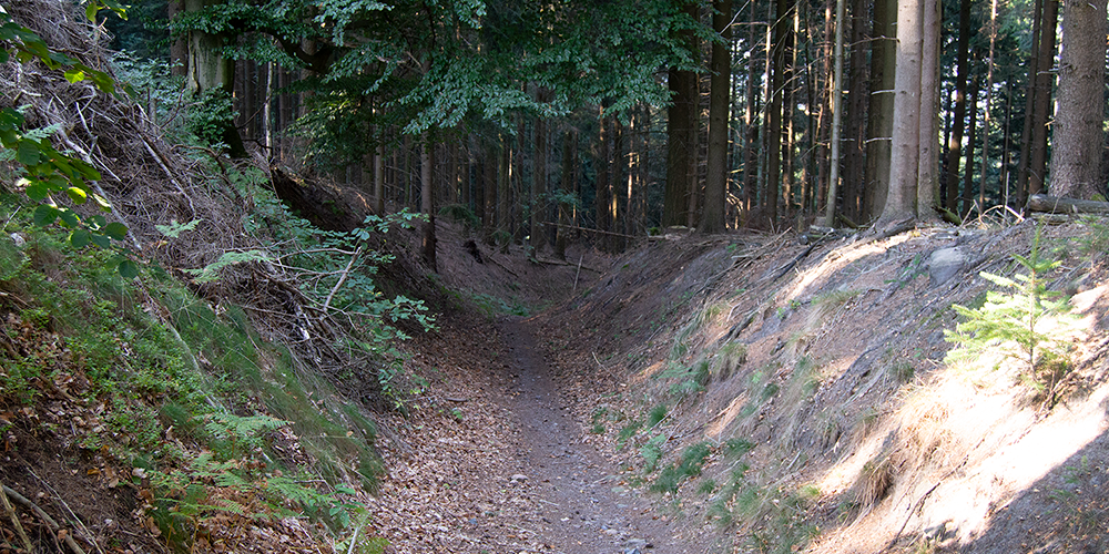
Now follows the descent down to Löhrbach. There is another country road to cross before heading up to the Teufelstein. There is a legend associated with the Devil’s Stone, which can be read on a notice board there. Shortly after the Teufelsstein, the last “sticking point” of the tour. On soft forest ground, the route is not long, but steep up to the Waldskopf. We are now on the western outskirts of Abtsteinach. The route now takes you first through Ober-Abtsteinach, then along forest paths and a short trail back to the starting point in Unter-Abtsteinach.
Suitable for families
Technical requirements: low
 Frank Wetzel
Route sponsor A 1
Contact via:
info@mtb-geo-naturpark.de
GPX download
(gpx & kml as zip file)
Start Google Maps
Abtsteinach

