Mömlingen Mö2
“
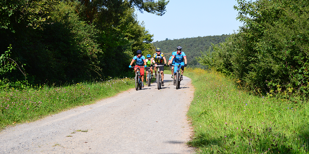
With its gravel paths and less demanding touring sections, the little sister of the Mö1 is ideal for MTB beginners and a quick after-work ride. However, a combination with the Mö1 is also possible, as the start and finish points are identical.
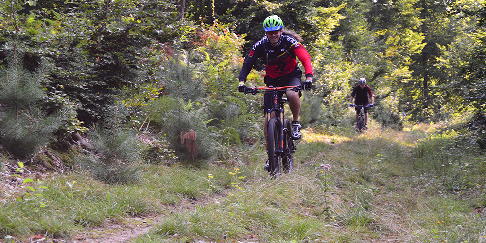
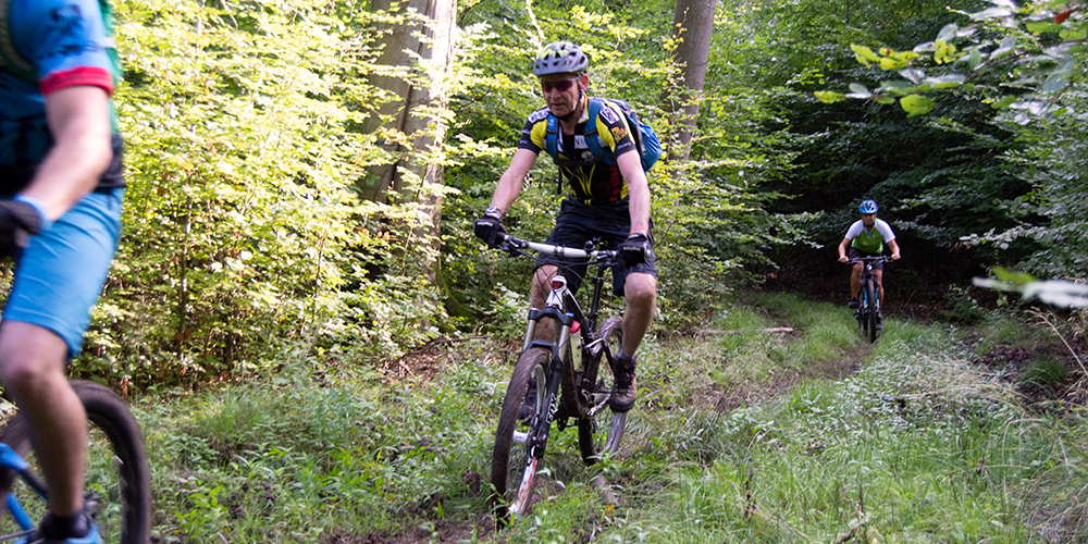
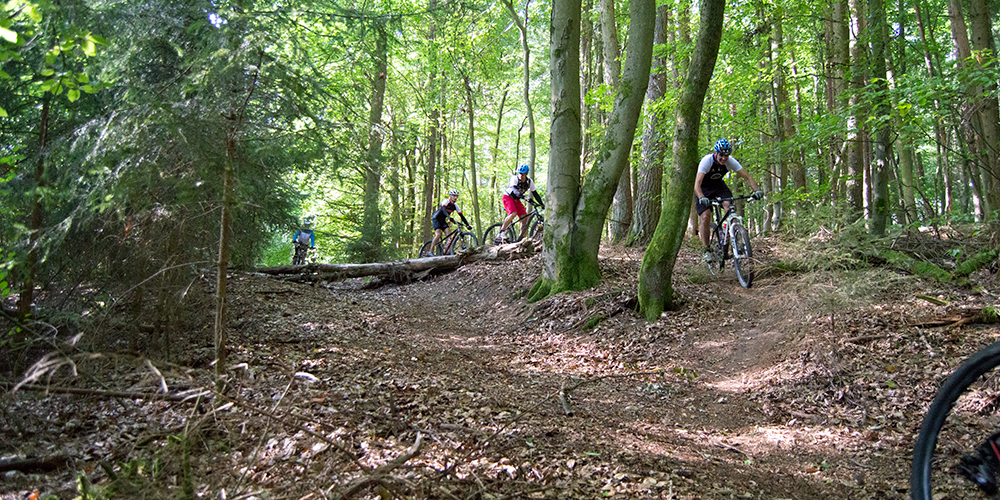
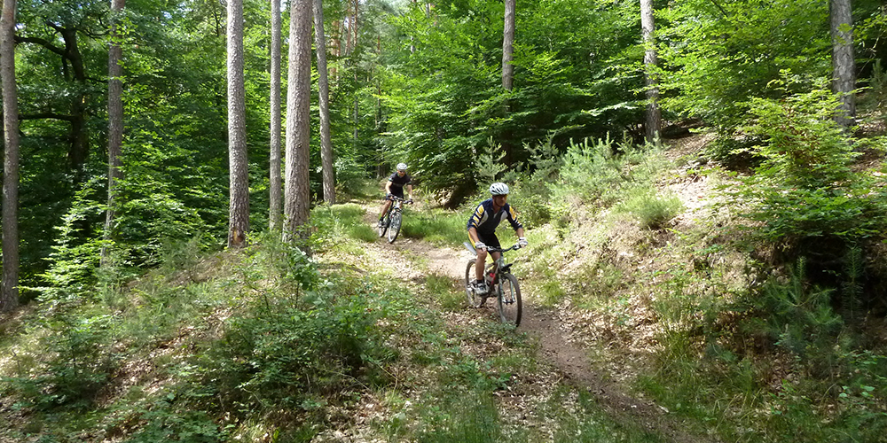
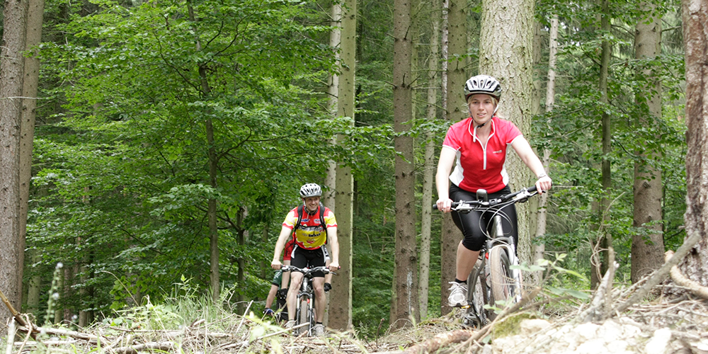
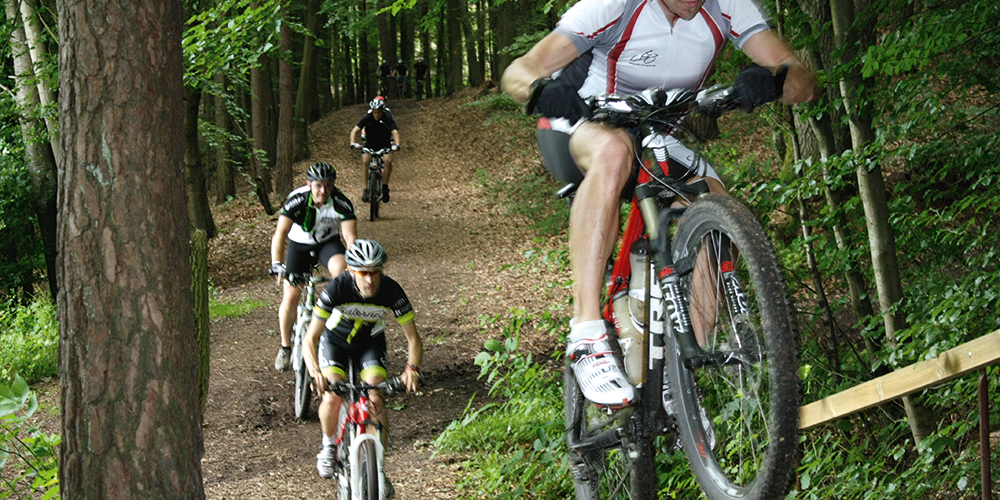
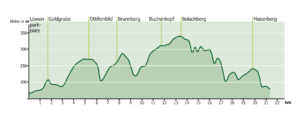
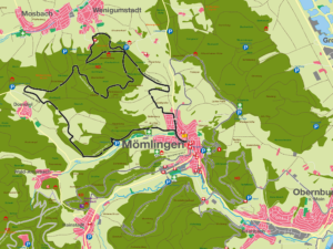
The 21.4 km route is 476 m long and has a high proportion of gravel paths, making it ideal for MTB beginners and for a quick after-work ride. Like Mö1, Mö2 starts and ends at the Löwenparkplatz in Mömlingen. The same start/finish locations make it easy to combine the two routes. Depending on your fitness level or time budget, you can either ride both routes in their entirety (52 km) or combine certain sections of Mö1 with Mö2. Starting from the Löwen parking lot in the town center, the route follows the Pflaumheimer Gässchen out towards Großostheim. Pass the sports field and continue along the asphalt road for approx. 300 m until the Mö2 joins a cycle path. At the end of the village, the Mö2 leads left along a row of apple trees to the first hill. As the route progresses, it takes its toll on the body as it goes uphill and downhill on a grass and gravel path. After the second ascent, the route leads into the forest area of the neighboring municipality of Wenigumstadt and from there along a forest path to the Thomas ostrich farm. On fine days, you can enjoy wonderful views as far as Frankfurt, the Spessart or the Bachgau. From the ostrich restaurant, the route continues slightly uphill on gravel to a crossroads in the forest. Here the route branches off to the left and continues on a flat stretch to the next major junction. Now continue downhill on the right. At the basin, the path divides and leads left until shortly afterwards the route turns right again and leads into the next longer ascent. Once you reach the top, the route continues to the right. The route then branches off to the left twice more until you reach the edge of the forest. Then continue along the edge of the forest on a partly sandy path. Once you reach this height, you again have a beautiful view of the surrounding meadows, forests and the village of Dorndiel. This is the turning point of the route. From here, the route leads back over gravel and dirt tracks towards Mömlingen. The last section of the route leads over a scenic trail section with beautiful views of Mömlingen and the Amorbach valley. The route is divided into 15% trails, 18% field and forest paths, 50% gravel paths and 17% asphalt.
For families: suitable
Technical requirements: low
 Hannes Fickler
Route sponsor Mö 1
Contact via:<a class="sppb-person-email" href="mailto:Kontakt%20%C3%BCber:
%20info@mtb-geo-naturpark.de”>
info@mtb-geo-naturpark.de
 Gerhard Schütze
Route sponsor Mö 1
Contact via:<a class="sppb-person-email" href="mailto:Kontakt%20%C3%BCber:
%20info@mtb-geo-naturpark.de”>
info@mtb-geo-naturpark.de
GPX download
(gpx & kml as zip file)
Start Google Maps
Mömlingen

